These websites will help you with many facets of getting from one location to another.
Distance Around A Point
 When I’m in serious travel mode, trying to get from one location to another on a trip that takes more than a single-day drive, I try hard to limit my drives to 3-4 hours or 220 miles, whichever comes first. From others, I learned that this is a good distance to travel that will make some serious progress without getting overtired and having the drive turn dangerous.
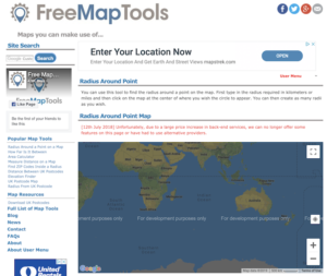
This means I need to plan ahead for where I’m going to stop, because although I like adventure and am even something of an adrenaline junkie, having to find a safe place to camp after a long day’s drive is not my idea of fun. So, in order to determine a waypoint that’s roughly within my distance limit, I found this tool, called Radius Around A Point. You can set it to whatever distance you want from whatever location you wish to start from. The map doesn’t automatically load any longer, you have to click for it, and it shows up with annoying “For developers only” overlays, but it’s still usable.
You enter your start point and the distance you want to travel, and it calculates a radius around that point, which it renders on a map for you. The map is resizable, so you can zoom in to see the towns and cities that lie inside it, which will all be within your desired limit. After nine months on the road, I’ve generally become pretty good at knowing how far I can travel without this tool, but sometimes—when I know the route involves lots of hills or mountains or potential significant construction slowdowns, I still use it.
TIP 1: Use the Google mapping tool that shows your entire route to track your whole trip, and if you want to send it to your phone you can, for reference as you drive.
TIP 2: There are other tools for US travelers on this website, including:
- Radius Around a Point on a Map
- How Far Is It Between
- Area Calculator
- Measure Distance on a Map
- Find ZIP Codes Inside a Radius
- Elevation Finder
Flattest Route for RVs
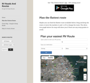
 This is a page on a larger website called RV Roads and Routes, which provides guidance on roads that are either rough or steep, two things no one driving an RV loves. The info is semi-crowdsourced, so it’s a work in progress. But when I was towing my 3500-lb. rig with a Jeep Wrangler that had that as a max capacity rating, this site helped me a LOT.
It’s already available as a smartphone app for Android, and is in the process of becoming available for iOS, too. That will be far more helpful because the two times I came upon the worst grades I encountered on the road, I was driving and didn’t have time to set up my laptop.

Recent Comments