
One of the easiest ways to identify the approach of severe weather is to be able to recognize the most obvious visual cue: the presence of the types of clouds that spawn thunderstorms and tornadoes.
When severe weather is approaching, you may first notice a lot of the usually friendly-looking, fluffy white cumulus getting a lot thicker and starting to develop gray bottoms. These are called cumulus congestus.
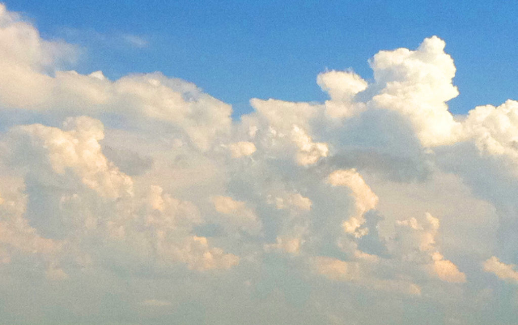
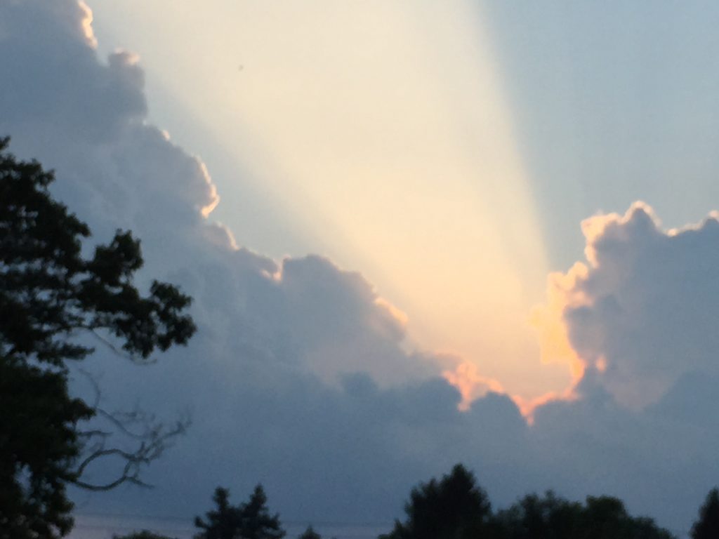
As the cumulus congestus continue to grow and develop, with the heat of the day causing surface moisture to evaporate and rise into the air, you may notice some of the clouds growing into cumulonimbus, or thunderheads. These are the ones that look like big heads of cauliflower. As they keep growing, they begin to develop “towers” that pile high above the others around them. These are about to go supercellular.
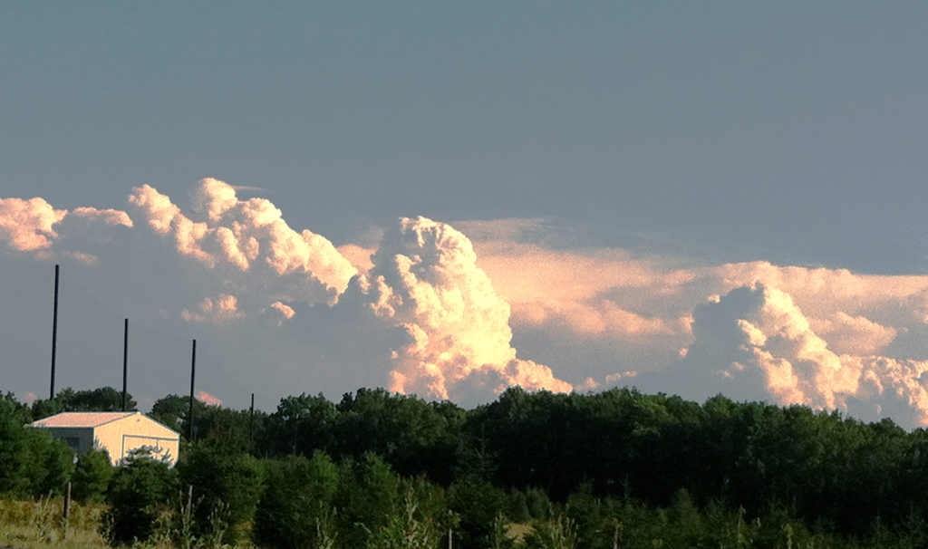
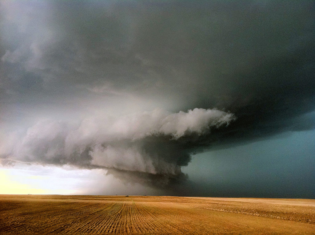
As those towers rise, they hit the very cold, dense layer of air at the tropopause. They generally can’t rise above that layer, so they flatten out against it. Now they have become supercells. The most dramatic-looking of these can actually resemble a mushroom cloud, such as is seen in a nuclear blast. They’re quite intimidating, even scary.
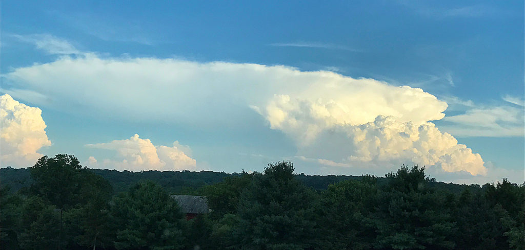
You can see another in the background beginning to flatten out on top.
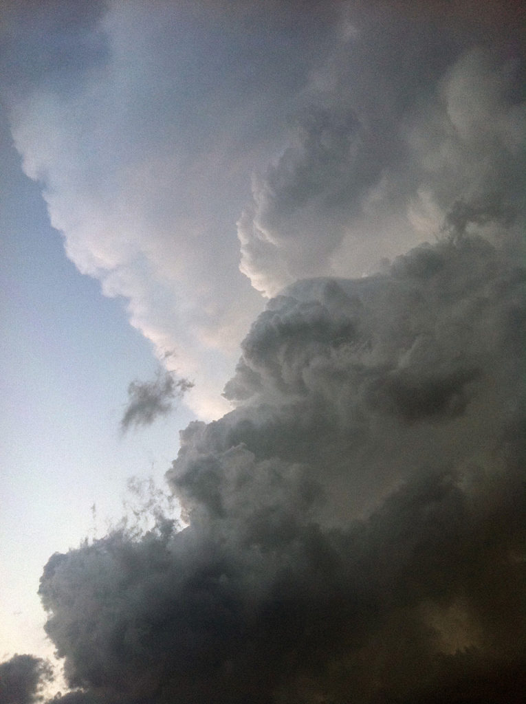
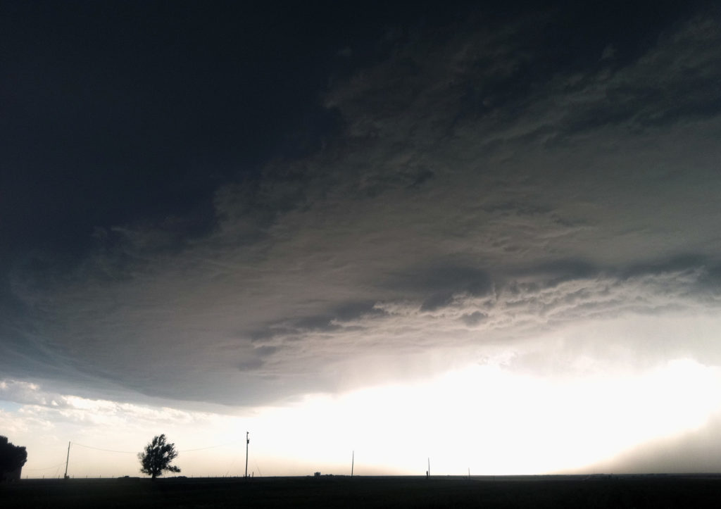
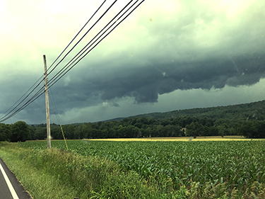
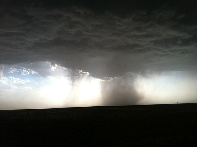
If you find yourself underneath an anvil-head supercell, you won’t be able to see the flat top. All you will see is a large, flat, dark expanse of threatening-looking cloud, at least at first.
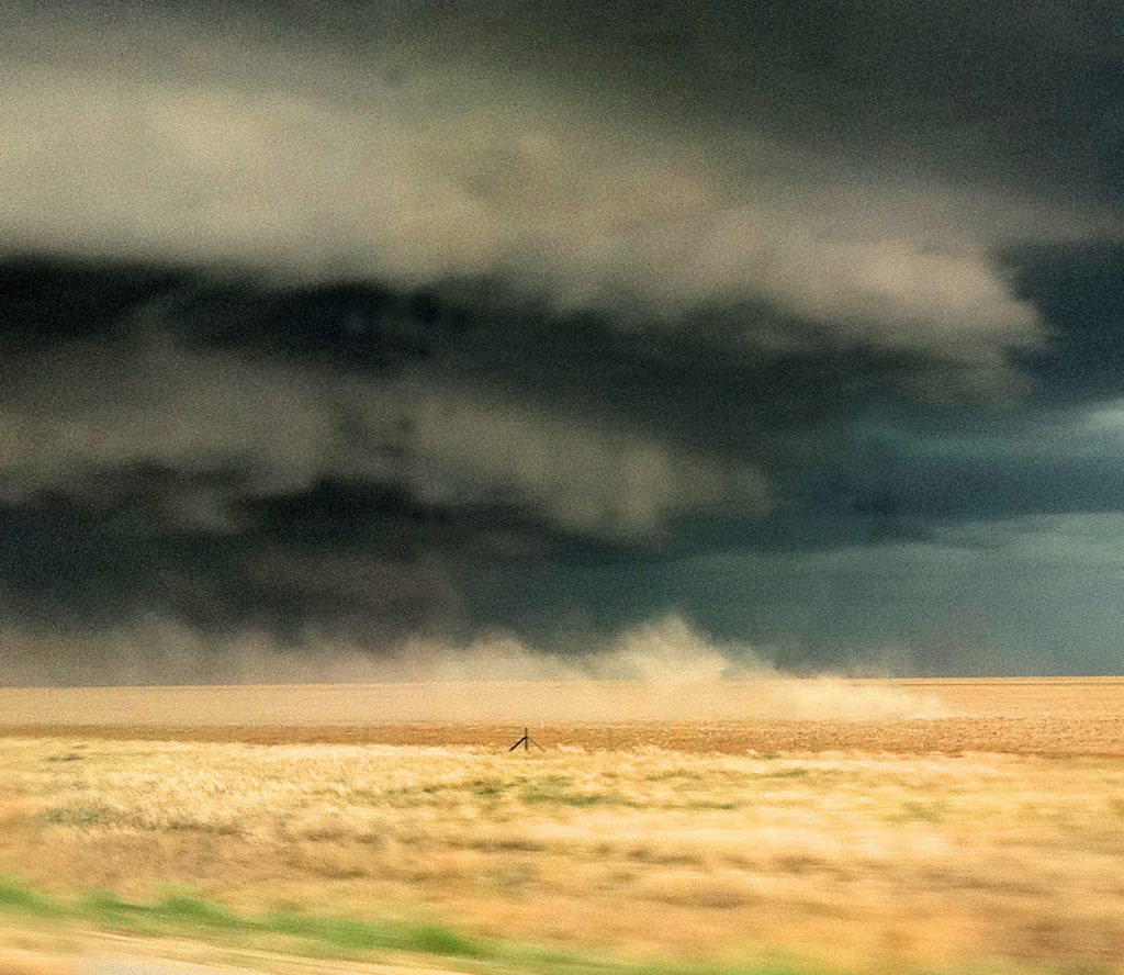
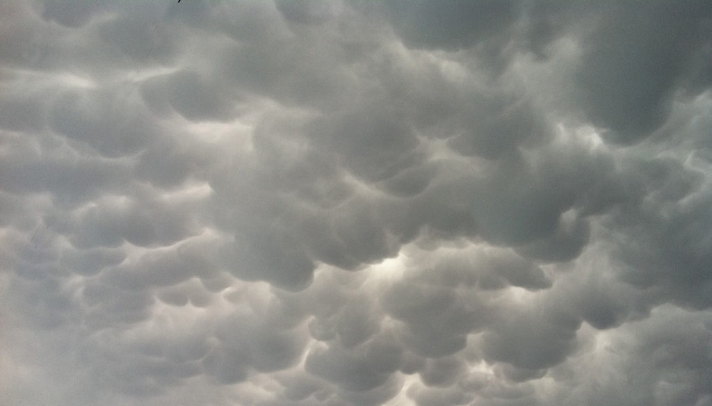
Beneath the anvil, you may see—on a very violent storm—a smaller area dropping down quite low from the middle. This is called a wall cloud, because from a distance, it just looks like a solid slab. In reality, it’s the bottom of the very dangerous, rotating core or mesocyclone of the supercell. If a tornado is going to form on this cloud, its funnel will drop from the wall cloud. Some of these have such clearly separated layers, they look like an upside-down birthday cake.
If you do need to run from a storm, try to discern which way it is headed, and drive away at a 90° angle, rather than running in the opposite direction. If you simply keep driving away from it in the direction it is headed, it could speed up and you may possibly not be able to drive fast enough to stay in front of it. If that happens, and you can’t find a road that will take you in another direction, you will get hit.
If you can’t tell which way the storm is headed, stand and face the storm. If you get hit by warm wind, it’s headed in your direction. If the wind is cold, it has most likely passed you already, and you’re experiencing rear flank downdraft (RFD). If it looks like it’s standing still but seems to be getting larger, it is headed straight for you and you usually have less than 10-15 minutes to get away.
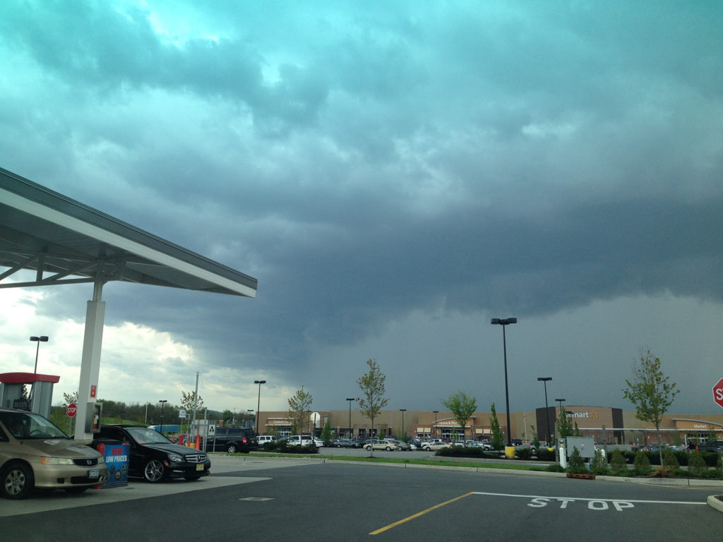
Sometimes—especially in late afternoon when most severe storms initiate—the sun is at such an angle, and there is so much moisture in the air, that a storm will cause light to refract and make the sky appear green. This is a very common occurrence that accompanies severe thunderstorms and especially tornadoes. If you see a green sky, you need to seek shelter. Do not stay in your rig until the storm has passed.
It’s great to be able to see all this online and in-depth. But what about when you’re out in the field, and either don’t have your smartphone with you, or can’t get cell reception? In that case, your best friend is an old traditional standby: a field guide.
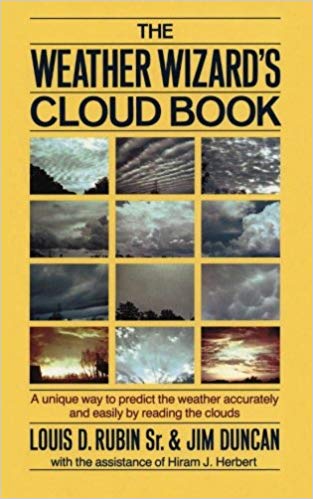
This one’s called The Weather Wizard’s Cloud Book, and it’s all you’ll need to predict the weather the same way pioneers and farmers did way back when. The Weather Wizard's Cloud Book offers a foolproof three-step system for predicting the weather. With amazing accuracy, this simple system can account for swiftly changing local weather developments more effectively than weather maps or official area forecasts, which are issued well in advance of weather conditions. Includes more than 120 photographs.
Next, we’ll review Nature’s most intense and powerful storm, the tornado.
More:
- RV Weather – Main Page
- RV Weather – Severe-Prone Areas of the U.S.
- RV Weather – Recognizing Severe Weather Conditions
- RV Weather – Weather Awareness and What To Do
- RV Weather – How Severe Weather Develops
- RV Weather – How Storms Turn Violent
- RV Weather – Hurricanes and Tropical Systems
- RV Weather – Snowstorms, Blizzards and Other Winter Stuff
- RV Weather – Smartphone Apps
- Current Severe Weather Alerts for Nomads - My Facebook Group
Full disclosure: I am an Amazon Associate, so if you purchase something through a link or portal on this website, part of your purchase will help support this site, at no extra charge to you. I thank you in advance for allowing me to help others by providing this valuable safety information.
Recent Comments